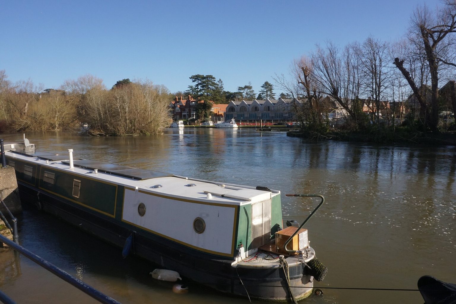
The Thames is the reason Maidenhead exists. The town grew up where the road west from London crossed the river, and for more than a century people have come here to walk the towpath, take to the water and eat beside it. The river runs along the eastern edge of town, with Taplow and the Cliveden woods on the far bank, and it is a short walk from the station.
This guide follows the river the way most people discover it: on foot from Maidenhead Bridge up to Boulter’s Lock and on to Cookham. Then it covers the bridges and islands, boat trips and boating, the wildlife, where to eat by the water, and the practical side of floods and safety. Times and prices were checked in November 2026.
Where is the river in Maidenhead?
The Thames forms the boundary between Maidenhead, on the Berkshire bank, and Taplow, on the Buckinghamshire bank. Three locks look after this stretch. Going downstream, Cookham Lock is 3.35 km above Boulter’s Lock, and Boulter’s Lock is 3.43 km above Bray Lock, according to the Environment Agency’s distances for boaters.
Between Boulter’s and Bray you pass under Maidenhead’s two famous bridges, the stone road bridge of 1777 and Brunel’s brick railway bridge. Upstream of Boulter’s is Cliveden Reach, where the river runs below steep beech woods towards Cookham. Downstream is Bray, with its village, its lock and Monkey Island. For the villages themselves, see our Cookham, Bray, Taplow and Hurley guides.
How do I walk from Maidenhead Bridge to Boulter’s Lock?
From the station, it is a mile or so through town to the river by the railway bridge, says the Saturday Walkers’ Club, and its Maidenhead to Marlow walk reaches Boulter’s Lock 3.2 km after leaving the station. The Thames Path runs along the Maidenhead bank here. It is mainly flat and signed with the National Trail’s acorn, so you can simply follow the river upstream.
Start under the railway bridge. Brunel built it in brick between 1837 and 1839. The first train crossed it on 12 April 1839, and it opened officially on 1 July 1839. Its two great arches are very shallow for their 128 foot span, and the bridge is listed Grade I. Locals call it the Sounding Arch: the Heritage Centre says that if you clap on the towpath under the arch on the Taplow bank, you should hear six or more echoes.
A few minutes upstream is Maidenhead Bridge itself, built of Portland stone to the design of Sir Robert Taylor and opened in 1777. It has five arches over the river and smaller ones stepping down on each approach, and it still carries the A4 across to Taplow. Our guide to Maidenhead’s bridges tells the full story of both crossings.
Beyond the bridge, Ray Mead Road follows the river past riverside hotels and the promenade where the Windsor boat leaves in summer; French Brothers calls this stretch of its cruise “millionaires row”. Keep going upstream and you reach Boulter’s Lock.
What is special about Boulter’s Lock?
Boulter’s was the first pound lock on the middle Thames, built in 1772, according to the Heritage Centre. The lock was rebuilt and reopened on 29 June 1912. In its Victorian heyday it was the place to be seen on the river: in 1891 one writer called Boulter’s Lock the “Ladies’ Mile of the Thames”. On a summer weekend it is still a fine spot to watch boats rise and fall. Our Boulter’s Lock and Ray Mill Island page has the full guide.
What is on Ray Mill Island?
Cross the road bridge at the lock, walk past the restaurant on Boulter’s Lock Island and take the footbridge onto Ray Mill Island. It is a small council park of 1.6 hectares, named after the Ray family who ran a flour mill there. You will find an aviary and guinea pig enclosure, a play area for children aged 3 to 8, picnic tables, toilets, cycle racks and a privately run cafe.
From the island you look straight onto Boulter’s Weir, one of 50 weirs left on the Thames. From September to April the council checks the island daily and closes it when high water makes it unsafe, so look at the council’s Ray Mill Island page before a winter visit. Barbecues are not allowed, and please do not feed the squirrels: they are wild and may bite.
Can I walk on from Boulter’s Lock to Cookham?
Yes, and this is the best stretch of all. North of Boulter’s the Thames Path follows Cliveden Reach, with the beech woods of the Cliveden estate rising steeply from the far bank. The National Trail says the woods look especially fine in November. Jerome K. Jerome, rowing this way in Three Men in a Boat (1889), thought it “perhaps, the sweetest stretch of all the river”.
It is about 3.9 km from Boulter’s Lock to Cookham on the Saturday Walkers’ Club route, along a flat riverside path that can be muddy or slippery in winter. You pass Cookham Lock and arrive by Cookham Bridge, a cast iron bridge of 1867 made by Pease Hutchinson and Co of Darlington, listed Grade II.
Cookham is the village of the painter Stanley Spencer, who lived there for 49 years. The Stanley Spencer Gallery at 16 High Street is open Thursday to Sunday in winter, 11am to 4.30pm, last entry 4pm (checked November 2026 on the gallery’s website). Upstream of the village, Cock Marsh is National Trust common land that has been grazed since 1272.
To get back, Cookham station on the Marlow branch is about a 10-minute level walk from the gallery, and Carousel buses 37 and 37M run between Cookham and Maidenhead. Or simply walk back the way you came, with the woods now on your left.
Which bridges cross the Thames at Maidenhead?
From Cookham down to Bray, the Environment Agency lists these crossings, with the headroom each gives a boat at normal water levels:
- Cookham Bridge: the 1867 iron road bridge into Cookham village, 4.62 metres.
- Boulters Lock Bridge: the road bridge over the lock cut, 5.26 metres.
- Maidenhead Bridge: Taylor’s stone bridge of 1777, carrying the A4, 5.66 metres.
- Maidenhead Railway Bridge: Brunel’s Sounding Arch, still carrying the Great Western main line, 9.80 metres.
- M4 Motorway Bridge: 7.77 metres.
- Summerleaze Bridge: a footbridge downstream of the motorway, 7.30 metres.
Both Maidenhead bridges are Grade I listed, and Historic England notes their group value as a celebrated Thames landscape. Both list entries place them in the parish of Taplow, across the water.
Which islands are there?
The river here is full of small islands. Ray Mill Island, by Boulter’s Lock, is the public park described above; the council bought it from the Thames Conservators in 1950. Next to it, Boulter’s Lock Island is home to The Boathouse pub and restaurant.
Brunel’s railway bridge has only one pier in the river, and he placed it on a small island, because the Thames Navigation Commissioners insisted the channel and towpath stay clear. Downstream at Bray, Monkey Island is reached by a footbridge and is now a hotel, the Monkey Island Estate.
Can I take a boat trip from Maidenhead?
Yes, in the warmer months. French Brothers runs a public trip from Maidenhead Promenade on Ray Mead Road to Windsor and back. It is back in May 2027, running Tuesday to Saturday apart from a few published dates. The boat leaves Maidenhead at 11am, reaches Windsor at 12.30pm, leaves Windsor at 4.15pm and is back at 5.45pm (checked November 2026 on the French Brothers page).
On the way you pass through Bray and Boveney Locks, by Monkey Island and Oakley Court, and past Windsor Racecourse with views of the castle. Hot and cold drinks are sold on board and well-behaved dogs travel free. A return adult ticket is £28.15 online or £33.50 on the day, and children under 3 go free (2027 fares, checked November 2026 on the French Brothers page).
The promenade has steps and is narrow, and the company asks disabled passengers to assess it carefully, so ring French Brothers on 01753 851900 first if that matters to you. Our boat trips guide has more, and our Windsor Castle page helps you plan the afternoon.
Can I hire a boat?
The council’s page for Ray Mill Island names the Little Green Boat Company as its boat hire. Its Maidenhead hire is closed for the winter and plans to reopen in summer 2027, according to its website.
Where can I row, sail or paddle?
Maidenhead Rowing Club, based on River Road in Taplow, holds Maidenhead Regatta every August as its main event of the year; the 2026 regatta was on Saturday 8 August, with food stalls and a bar for spectators. The club also runs a junior regatta in May. See our Maidenhead Rowing Club page.
For a lesson or a paddle on calm water, Bray Lake is a watersports centre on Monkey Island Lane, and Longridge, between Maidenhead and Marlow, runs water and land activities. Our sport in Maidenhead guide lists the clubs.
Taking your own boat out? The Environment Agency posts stream warnings for each reach once a day, by 11am, and shows boards at the locks. Red boards mean no boat should navigate; yellow boards mean unpowered boats such as canoes and rowing boats should not go out. On 6 November 2026 there were no warnings between Marlow and Romney Locks, but check the current river conditions on the day.
What wildlife will I see on the river?
Swans are the stars. Every July, in the third week of the month, the King’s Swan Marker and the Swan Uppers of the Vintners’ and Dyers’ livery companies row upstream from Sunbury to Abingdon in six traditional skiffs, counting the swans and checking the cygnets. In 2026 they passed Boulter’s Lock and Cookham Bridge on the Tuesday, according to Visit Windsor’s listing, so a summer walk can coincide with a scarlet-shirted flotilla.
The river is also a fish highway. A salmon ladder at Boulter’s Weir opened on 19 May 2000, as part of a scheme to bring salmon back to the Thames. Upstream, Cock Marsh is a Site of Special Scientific Interest with marsh plants such as water violet and brown galingale, a protected sedge, and it is a locally important place for birdwatching.
Look out, too, for the Jubilee River, the Environment Agency’s 11.6 km flood channel, which it describes as naturalistic river and habitats, with footpaths along most of its length. Closer to town, the aviary and guinea pigs on Ray Mill Island are an easy win with small children.
Where can I eat by the river?
You can eat within sight of the water all the way from Hurley to Bray. Here are the places on or close to the riverbank that were trading when we checked.
- At Boulter’s Lock: The Boathouse at Boulters Lock, a Peach Pubs pub on its own island, with a terrace bar, river views and a Sunday roast.
- On Ray Mead Road: the Uno Thames Hotel, the old Thames Hotel of 1886 under new owners.
- By Maidenhead Bridge: the Thames Riviera Hotel on Bridge Road.
- At Bray: The Waterside Inn on Ferry Road, Alain Roux’s riverside restaurant with rooms, which holds three Michelin stars; the brasserie at Monkey Island Estate; and Mediterranevm at Bray Marina.
- At Cookham: The Ferry, the riverside pub on Sutton Road, reopened in September 2025 with an upstairs restaurant.
- At Hurley: The Olde Bell, an inn with a dining room and garden bar; Hurley Lock is on the Thames Path by the village.
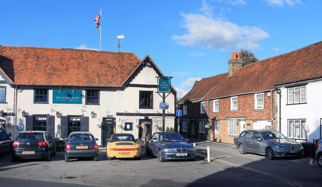
Bray village, a few minutes from the river, also has The Fat Duck and The Hind’s Head. For the full picture, see our restaurants, pubs and bars and Sunday lunch guides.
Does the Thames flood at Maidenhead?
It can, and it has. The Heritage Centre records the greatest flood on record in 1894 and the most severe flood of the 20th century in 1947. The answer was the Jubilee River, opened by the Environment Agency in 2002. It leaves the Thames at Taplow, where weir gates control the flow, and rejoins it at Datchet, carrying high water round the town.
The Environment Agency says the channel reduces flood risk for about 3,000 properties in Maidenhead, Windsor, Eton and Cookham. The Heritage Centre adds that it protected Maidenhead in the floods of 2003, when Cookham to Hurley flooded badly, and again in 2014. Parts of its footpath close while it is operating, and swimming in it is never allowed.
For live river levels and flood warnings, see our weather and flooding page or call the Environment Agency’s Floodline on 0345 988 1188.
How do I stay safe by the river?
- Never walk through floodwater. The National Trail warns that you cannot see where the bank ends. Check flood warnings before a winter walk and plan a way round.
- Keep clear of weirs and sluices. The Environment Agency says water near them is extremely hazardous whenever stream warnings are in force.
- Watch the boards. Red and yellow boards at the locks tell you when the stream is too strong for small boats.
- Expect mud. The towpath gets churned up in winter, especially by gates.
- Leave the bike for the roads. The Thames Path is a public footpath, not a cycle route, so walkers have it to themselves here.
How do I get to the river?
On foot, the river is a mile or so from Maidenhead station. By bus, Carousel route 4 runs from the town centre to Ray Mill and Boulter’s Lock, and routes 37 and 37M serve Bray and Cookham. Our Maidenhead buses page has the details.
By car, the council’s Boulters Lock car park on Lower Cookham Road, SL6 8JN, has 87 spaces and two disabled bays, with charges every day from 9am to 9pm (checked November 2026 on the council’s car park page). For the boat, French Brothers points you to the Riverside car park, SL6 8NP. Our parking guide lists the rest.
Want to make a weekend of it? Our riverside weekend plan strings Boulter’s, Cookham, Bray, Hurley and Cliveden together, and parks and walks has more routes. For somewhere to stay, browse our hotels, and for everything else to do, see things to do in Maidenhead.
Frequently asked questions
How long is the walk from Maidenhead to Cookham along the river?
About 7 km from Maidenhead station on the Saturday Walkers’ Club route, or about 3.9 km if you start at Boulter’s Lock. It is flat all the way, beside the river.
Is Ray Mill Island open in winter?
Usually, but from September to April the council can close it at short notice when the river is high. Check its page before you go.
Can I cycle along the Thames at Maidenhead?
Not on the Thames Path, which is a public footpath; the National Trail asks cyclists to keep off it. Our getting around guide suggests cycle routes nearby.
Why is the railway bridge called the Sounding Arch?
Because of its echo. Stand under it on the Taplow towpath and clap, and the Heritage Centre says you should hear the sound come back six or more times.
Photographs
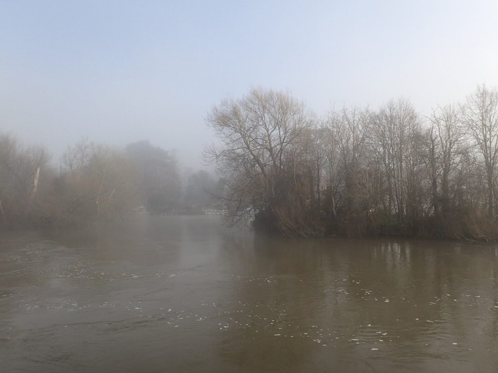
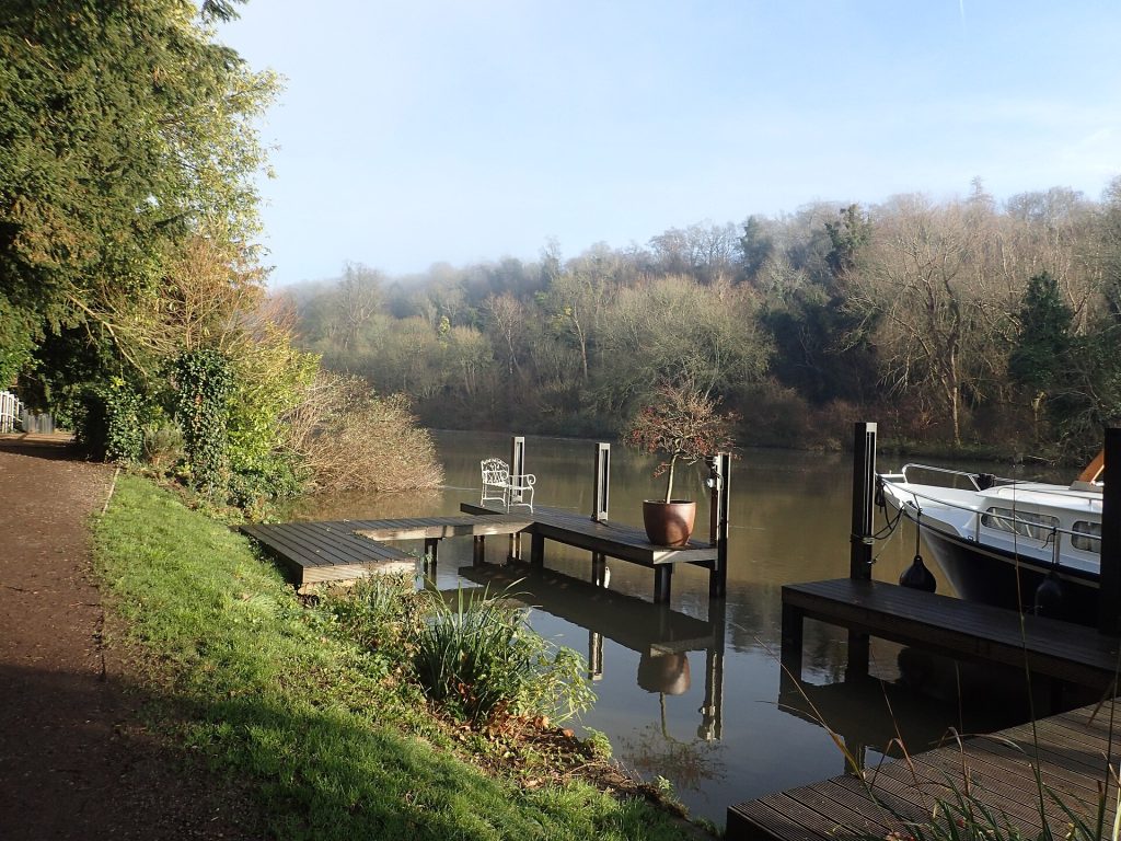
A foggy morning on the River Thames at MaidenheadMarathon, CC BY-SA 2.0 (Wikimedia Commons: A foggy morning on the River Thames at Maidenhead) 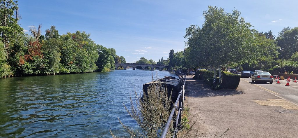
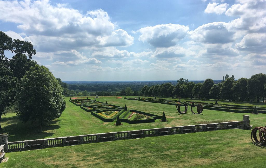
River Thames near MaidenheadChris j wood, CC BY-SA 4.0 (Wikimedia Commons: River Thames near Maidenhead)